Navigating Richmond is a breeze with the city’s public transit system and pedestrian-friendly streets.
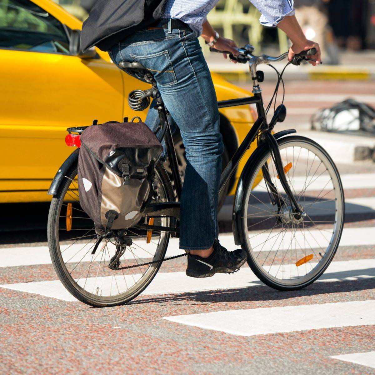
Walking, Biking & Hiking
There are over 80 kilometres of walking, hiking and biking trails exploring the island of Richmond, BC. Below are a few of the most popular trails in the area for nature lovers:
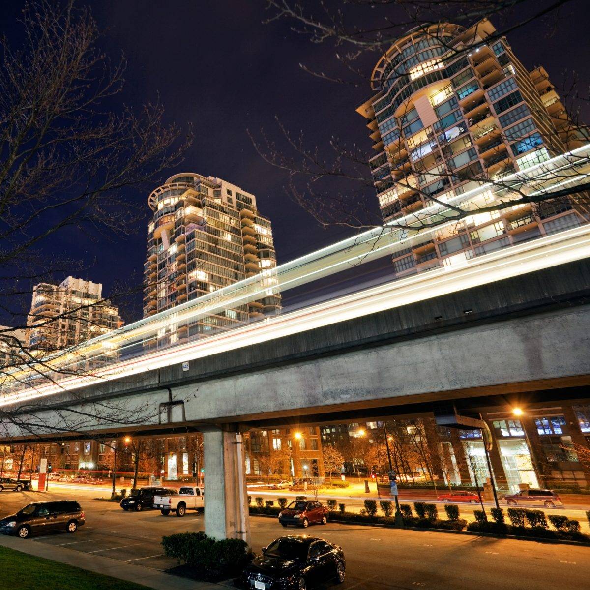
TransLink is Metro Vancouver’s transportation network serving residents and visitors with public transit throughout Vancouver and Richmond.
is served by TransLink’s public bus fleet and its Canada Line SkyTrain rapid transit system.
SkyTrain
Taxis
Ridesharing
Limo service
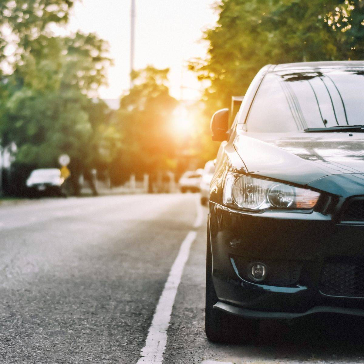
Driving & Parking
There are two major roads that run through downtown Richmond:
No. 3 Road, which runs from North to South
Westminster Highway, which runs through Richmond from West to East and intersects with a system of numbered roads from No. 1 in the West to No. 9 in the East and with Highway 99 which runs from Vancouver to the US border.
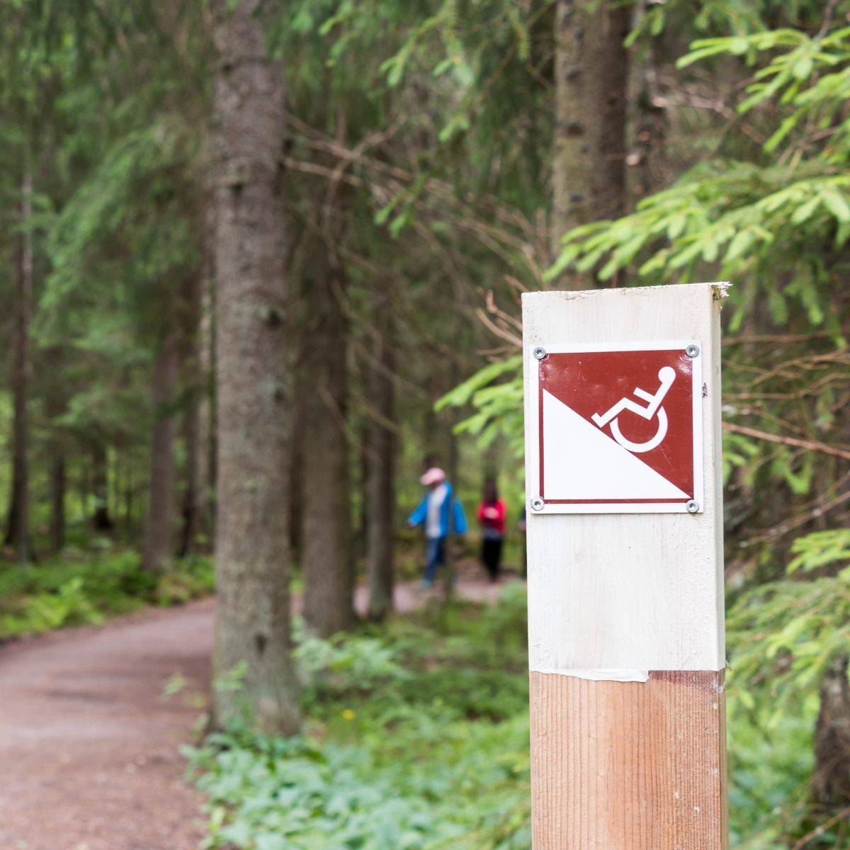
Richmond, British Columbia is considered to be one of the most accessible cities in Canada and is one of just three Canadian destinations recognized with an Accessible Cities Award by the Rick Hansen Foundation. Visit the links below for accessibility information from our public transit services in Richmond: